Visited:20. 6. 2021
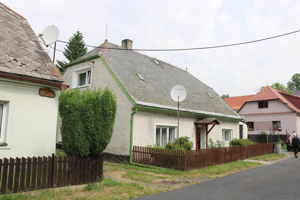
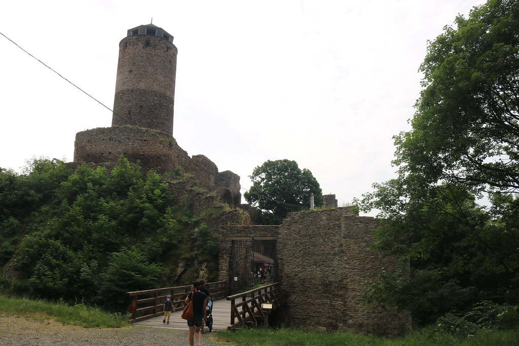
History:Place (German: Platz) is a village located about 3 km southeast of the town of Výsluní. The original German name of the village Platz means meadow or open space. In historical sources the name of the village appears in the forms Placz (1518), Placzs (1579), in mčko hornj Placz (1606), Platz or Placž (1787), Platz (1846) or Místo a Platz (1854). Between 1869 and 1880 the village was called Town. The first seasonal settlements in the area of Místo originated in connection with ore mining around 1000 BC. A settlement of the Knoviz culture has been found near the castle. The area around the site was settled in the Middle Ages as early as the fifteenth century. In 1449, there is a report of the Hasištejn hammer for ore processing in the Prunéřov valley. In a letter addressed to Oldřich of Rožmberk, Mikuláš of Lobkovice complained about Peter of Šternberk, who had destroyed his hammer. As late as 1518, only the Placz meadow, on which the town was built and whose name it took, is mentioned. This was probably after 1538, when Šebestián of Lobkowitz sold the town of Kralupy, which was an important commercial centre of the manor. The new centre became Místo. However, the first written mention dates back to 1549 and the oldest record in the land register of the town dates back to 1569. In 1606, Místo was designated as a mining town, although it never received any privileges associated with mining. It was founded with a large rectangular square, but in the mid-nineteenth century there were still buildings only on its sides. Before the end of the sixteenth century, the majority of the Hasištejn estate was acquired by Emperor Rudolf II, who sold it to Linhart Štampach of Štampach in 1606. At that time, 27 settlers with their families lived in the place. The property of Linhart the Younger was confiscated for his participation in the Estates Uprising, and in 1623 it was acquired by Jaroslav Bořita of Martinice. During the Thirty Years' War, Hasištejn was burnt down by Swedish soldiers along with the town and the church built on the square in 1572. The war also put a definitive end to the surrounding mining activities. According to the Berni Rula of 1654, only fifteen cottagers and two gardeners lived in the place without any land of their own. One of the cottagers ran a mill with one wheel, one had a tavern, and the others made a living as a shoemaker, a mason and three weavers. Together they owned ten covers, 31 cows, fourteen heifers, two pigs and two goats. In addition, north-west of Hasistein there was a limestone quarry and lime kiln which operated until the second half of the nineteenth century. After the Thirty Years' War, the inhabitants worked in agriculture and in the forest. However, the low fertility of the fields meant that they had to find additional income opportunities, which included lace making, basket making and berry picking. During the Seven Years' War, a detachment of Prussian soldiers passed through the town towards Mount St. Sebastian and stole all the local poultry. However, the village suffered from the soldiers' raids throughout the war. By the end of the eighteenth century the village had grown. Jaroslav Schaller in his 1787 work listed 39 houses in the place and in 1794 there were 44 houses with 206 inhabitants. In time, mining was also restored as some of the inhabitants worked in the mines in the area. The manor was already abandoned at that time and in the Prunéřov valley there were three mills, two sawmills, a wire mill and a hammer mill. In addition to the usual crops, flax and hops were grown in the fields. The flax was used to make yarn and linen in the households. The owners of the village also changed. Between 1791 and 1810 the place belonged to Countess Marianne of Althan, after her Countess Marie Anna of Firmian was the owner until 1840 and the last nobleman was Count Karl Wolkenstein-Trostburg. After the abolition of the patrimonial administration in the middle of the 19th century, the village became an independent municipality and has retained its independence to the present day. In 1838, 1848, 1880 and 1888, the village suffered fires in which several houses were burnt down. A volunteer fire brigade was founded in 1896. Two years later, a road from Ahníkov to Celná was built, which significantly improved the poor transport accessibility of the village until then. The water supply system was completed in 1900. A grain mill operated in the former wire factory building at that time, which burned down in 1927 but was rebuilt. The old mill was still in operation after 1900. It belonged to Emanuel Karsch, who was the owner of the Prunéřov estate. The previous owner of the hammermill produced charcoal, which he supplied to Karsch's enterprises. Emanuel Karsch was instrumental in the reconstruction of Hasištejn, where he opened a restaurant. In 1914 he built a hunting lodge in the place itself, named after his wife Margaretheim. The following year, however, during the First World War, the chateau was converted into a convalescent home for children from socially disadvantaged families. At the end of the Second World War the building served as a convalescent hospital, in 1945 as a barracks for the Revolutionary Guards and from 1946 as a children's convalescent home. After the end of World War I, the site became part of the newly declared province of German Bohemia, which was occupied by the Czechoslovak army until the end of November 1918. In 1920, the village was electrified. There were two inns, two grocery stores, a confectionery, a bakery and a butcher in whose warehouse meat was cooled with ice delivered from Vysoká Jedle, which lasted until summer. Of the craftsmen and tradesmen there were only a shoemaker, a tailor, a barber and a chimney sweep. A post office was opened in the 1930s. After the Munich Agreement, the town was occupied by the German army on 5 October 1938, which was greeted with cheers by the locals. Nine local men died on the battlefields during the war. After the war, most of the original inhabitants had to leave for Germany, and several dozen people from Czechoslovakia moved there during 1945. As a result, 351 inhabitants were still living here in 1930 and only 211 in 1950 thanks to the expulsion. With the demolition of many old houses, the place lost its historical character. New development of the village began in the 1960s. In the next two decades, new houses were built, sewers were installed, the square was landscaped, a playground was built and an agricultural area was created on the eastern edge of the village. According to the 2021 census, the total population was 433.
Source:https://cs.wikipedia.org/wiki/M%C3%ADsto
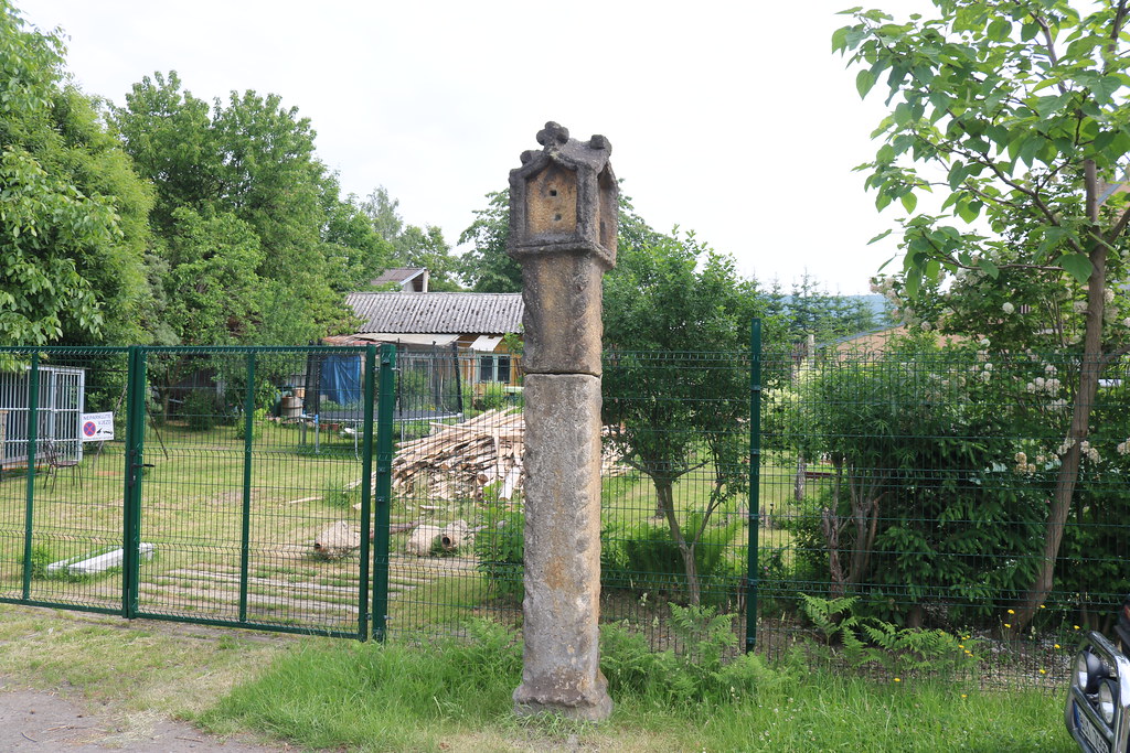
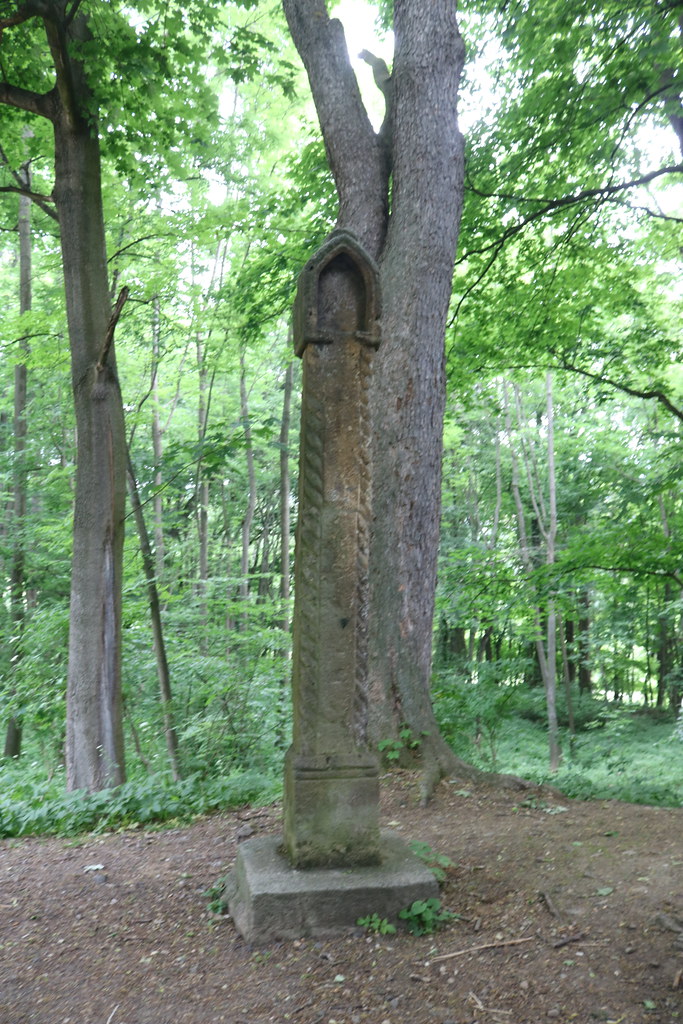
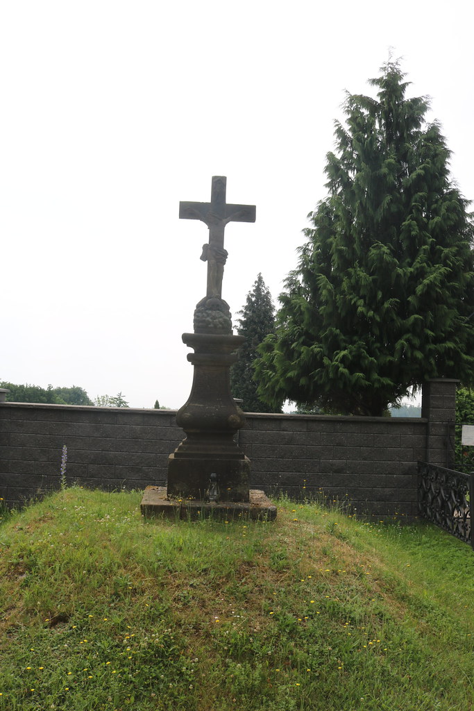
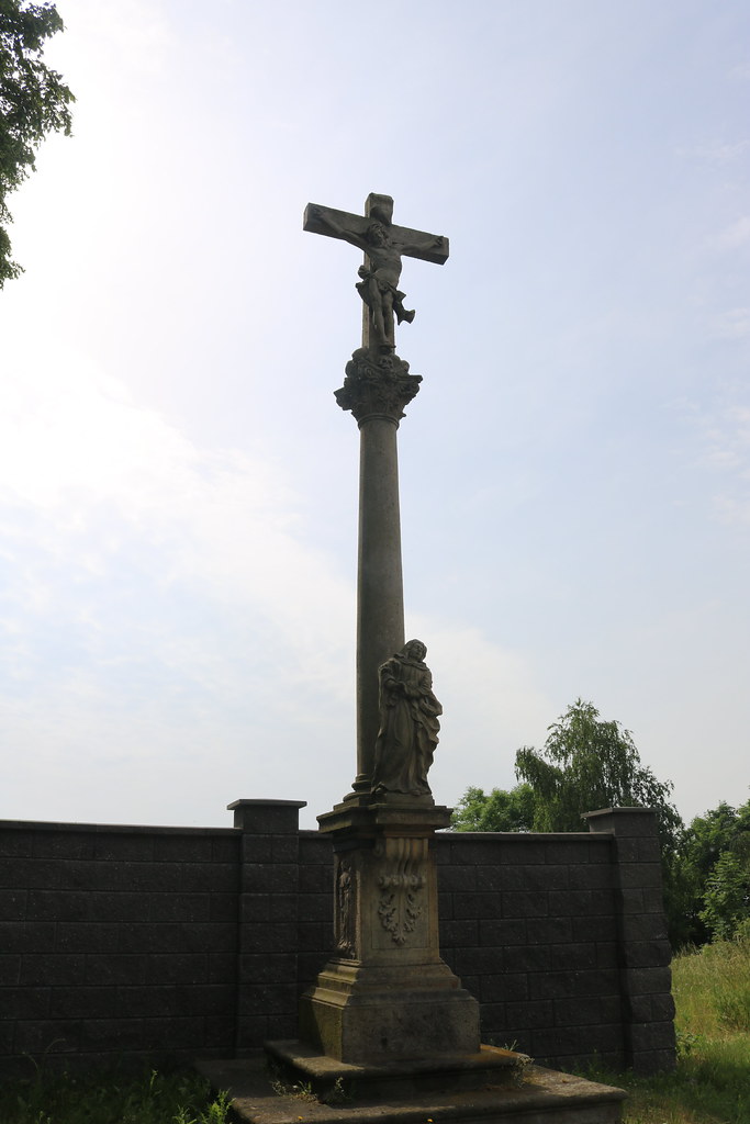
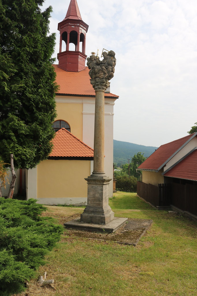
Impressions:A larger village, located southeast of Výsluní, where there are many interesting things to see.