Visited:21. 6. 2021
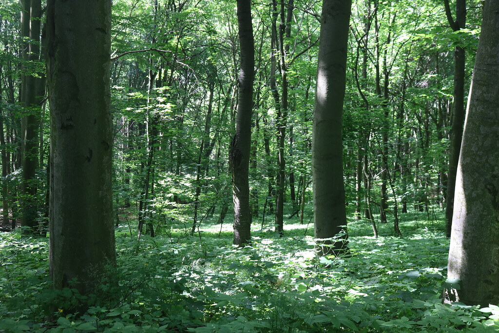
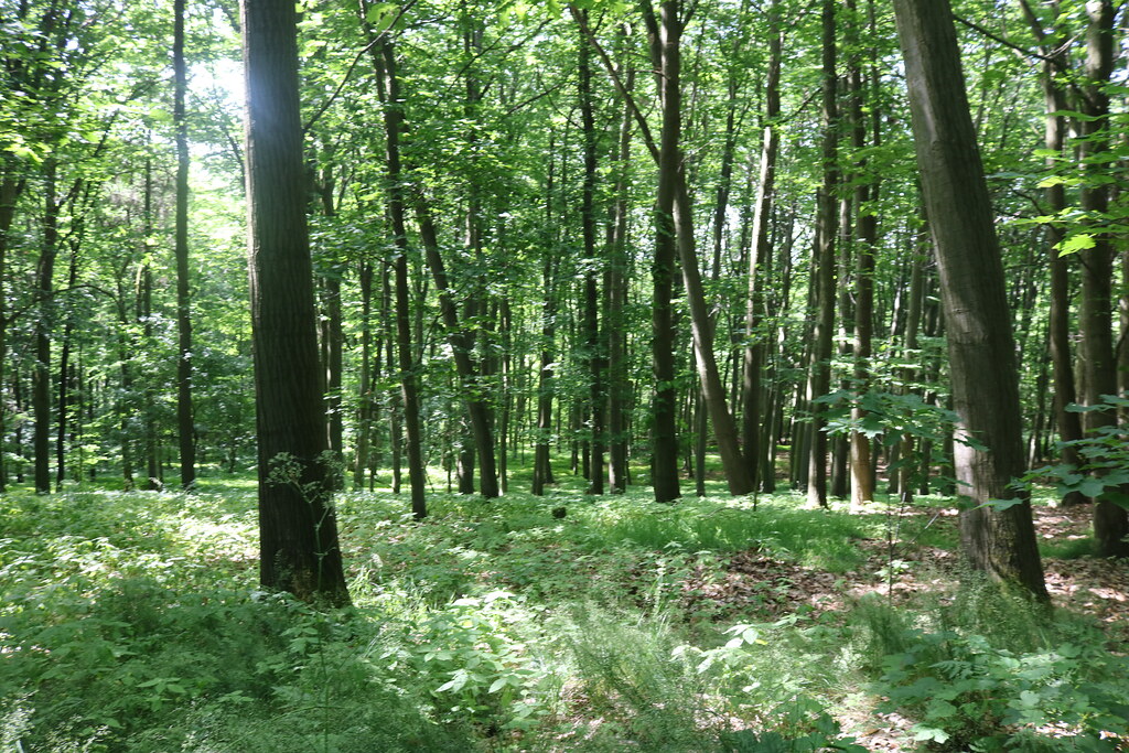
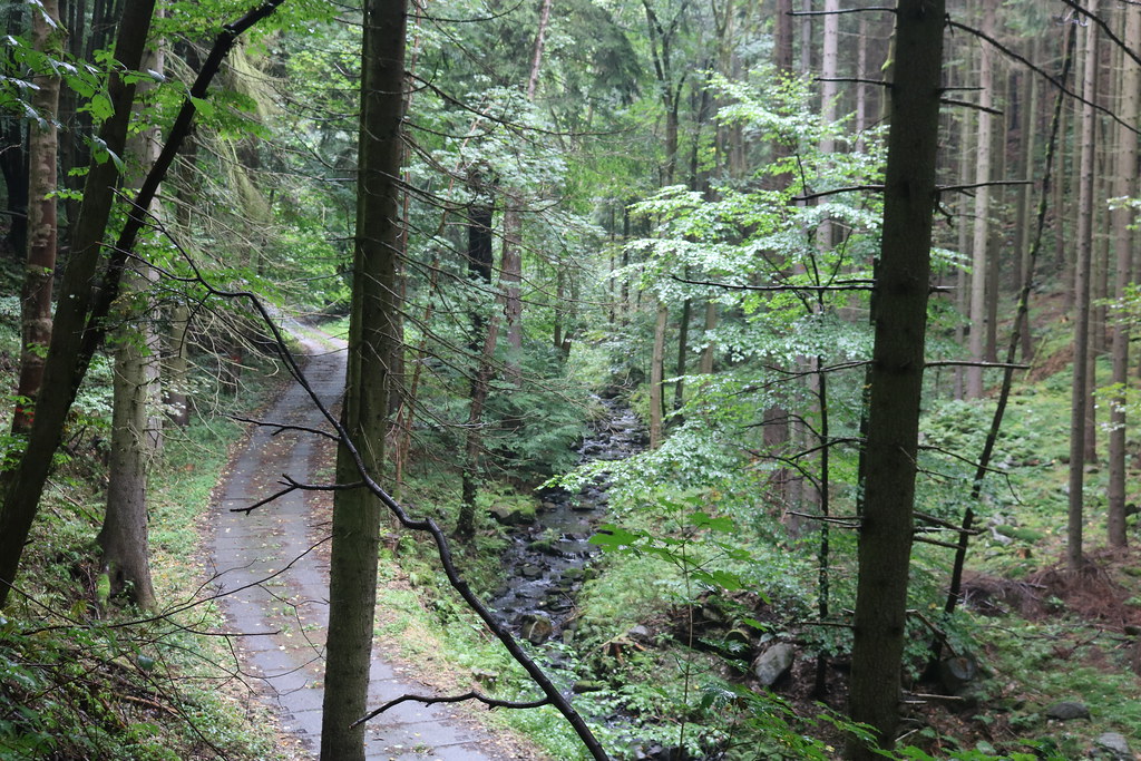
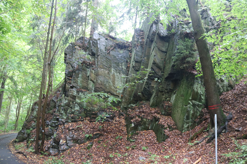
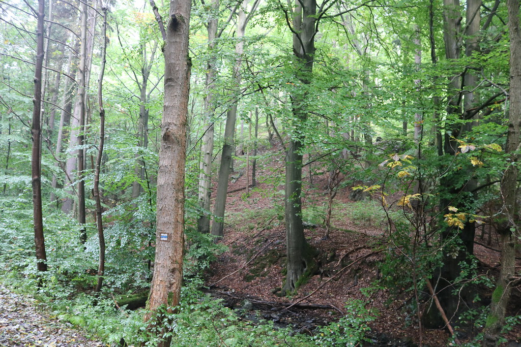
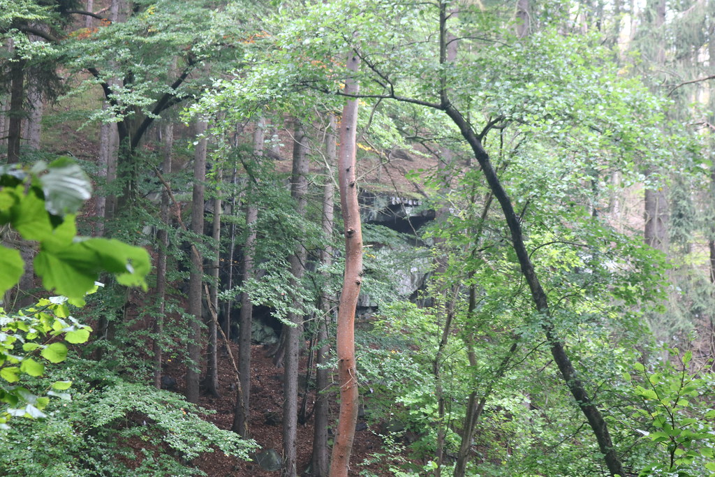
History:Bezručovo údolí is a natural monument No. 5918 declared on 28 December 2013 with an area of 952.7 ha and part of the eponymous European site of importance and nature park in the Chomutov district. The area is managed by the Agency for Nature and Landscape Conservation of the Czech Republic. The reason for the designation of the natural monument is the diverse habitats of beech forests, debris forests, vegetation of silicate rocks and crevices, valley ash and alder meadows and habitats with the occurrence of representatives of the bluebell family. The geological subsoil is made up of old mountain rocks of the Erzgebirge crystalline (shales, phyllites, swarls, pararuls). In the north, orthorhombic and migmatites also occur. Horopisically, the area is located in the Czech Highlands province, the Krusnohorská hornatina sub-system, the Krušné hory unit and the Loučenská hornatina sub-unit. The southern part of the territory belongs to the Boleborská vrchovina district and the northern part to the Přísečnická hornatina district, which is a shrubby highland with remnants of aligned surfaces, which are divided by the canyon-like Chomutovka valley in the place of the natural monument. The Bolebora Upland is lower elevated and dissected by incised hillside streams and with denudation platforms on the inter-valley ridges. The height difference between the lowest and highest parts of the area exceeds 400 m. The area is drained by the Chomutovka River with smaller tributaries, the most important of which are the Křimovský Brook and the Kamenička Brook. On both of them there are dams designed to hold drinking water: the Kamenička reservoir from 1904 and the Křimov reservoir completed in 1958. However, both reservoirs are located just outside the boundaries of the protected area. The large difference in altitude affects the climatic conditions. While the southern part of the area belongs to the Quitt climate classification in the moderately warm areas MT4 and MT7, the northern part falls into the cold area CH7. Among the protected plant species, the perennial marigold and the bristle-leaved dill are found in the area. Vertebrates are represented by the spotted salamander, the mountain plover, the common adder, the common viper and the river otter. Particular attention is paid to the management of wet meadows, which are associated with the occurrence of butterflies, such as the marsh blue butterfly and the hen harrier.
Source:https://cs.wikipedia.org/wiki/Bezru%C4%8Dovo_%C3%BAdol%C3%AD_(p%C5%99%C3%ADrodn%C3%AD_pam%C3%A1tka)
Impressions:A large natural monument that looks like there are several different types of areas. PP Bezručový údolí covers several cadastral territories, but I decided to include it under the city of Chomutov.