Visited:20. 9. 2021
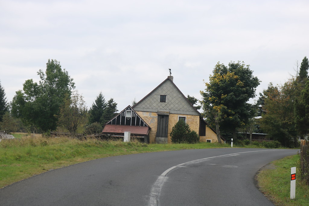
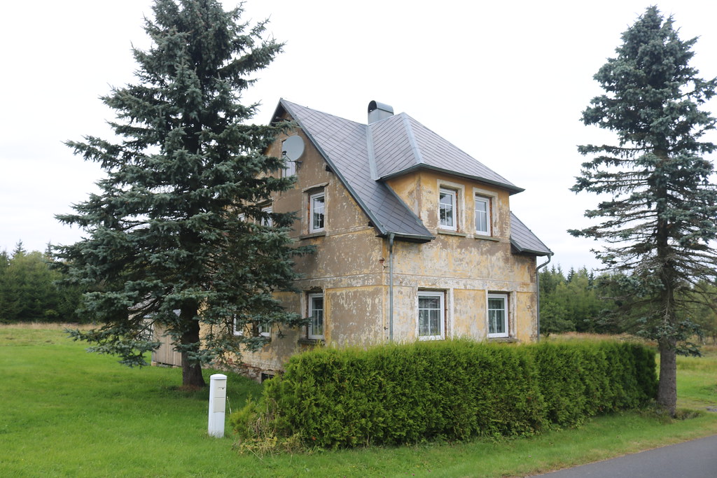
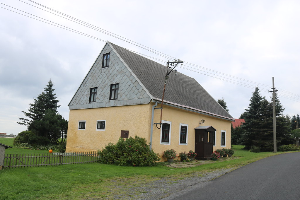
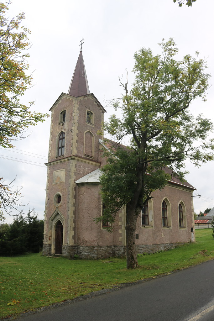
History:Horní Halže (German: Oberhals) is a small village located about 2.5 kilometres west of Měděnec. The name of the village is derived from the German name Hals, which translates to neck, throat or neck and was given to the village by its location on a long, narrow elevation. In the fifteenth century they formed a single village with Dolní Halž, but in the following century they were mentioned separately. In historical sources, the name of the village appears in the following forms: Gyessen, halzie (1431), ves halzie (1481), Halsß (1545), the villages horzeyssi and doleyssy, which means throat otherwise hals (1577), horzeyssj halssy (1602), Oberhalß (1628), Uberhals (1654) or Ober Hals (1787). The first written mention of the village dates back to 1431, when the brothers Aleš and Vilém of Šumburk divided the Perštejn estate. Vilém acquired Hals, who built a new castle in Šumburk. In 1449, the debt-ridden Šumburk manor was bought by Vilém of Ilburk and from him by Ondřej Kaufunk of Kaufun and the brothers Opl, Boz and Bernart Fictum. The Fictums paid off all creditors and Upper Halze remained part of the Shumburg estate until 1540, when the Fictums divided it into three parts. Two of them were bought by the Lords of Šumburk, who sold their part, including Horní Halže, to Petr Boryň from Lhota na Nezabylilice in 1559. His daughter Margaret sold Halze in 1607 to Kryštof of Fictum, who added it to his Klášterec manor. Kryštof of Fictum was one of the leading figures of the Estates Uprising, for which he was condemned to lose all his property after the Battle of White Mountain. Afterwards, the property changed hands until Jindřich Šlik bought it together with Měděnec in 1628 and added it to the newly established Horní hrad-Měděnec united estate. The Thirty Years' War almost destroyed the local mining business. According to the 1654 tax roll, there were only eight cottagers in the village, who kept a total of nineteen cows, eleven heifers and nine goats. They made their living by working in agriculture, breeding cattle and carrying stone or coal. After the Thirty Years' War, the estate changed hands until 1839, when Countess Gabrielle Buquoy acquired it. The origin of the village was linked to the mining and processing of ores. To the east of the village, chalcopyrite was mined in a mine consisting of a 550-metre long adit and two shafts. In the eighteenth and nineteenth centuries, copper ores were found only in heaps. Crevel was mined in the wider area. There were hundreds of small shafts and pits where the ore was mined at the surface. These small mines were called Geschiebfeld and were only worked during the summer. The larger mines were located in several groups in an east-west direction. The Tautenberg area was explored by the House of Austria and the Buqois prospecting adit, and the unprofitable Josef Mine operated here from 1824 to 1835. At the Graukopf site, 418 tonnes of low-grade magnetite were mined from 1799 to 1805 in the thirty-metre-deep Ondřej, Václav and František Xaverský shafts. The third group were small shafts in the so-called Peasant Forest, which mined shallow deposits of magnetite. To the north-east of the village was the Rote Sudelheide site with the Rotsudelzeche mine consisting of a shaft and several shafts. Magnetite and clay manganese ores were mined there. The mine operated from 1799 to 1845 and produced up to 200 tonnes per year. The last group consists of a belt almost two kilometres long, which extended westwards from the previous site. These were mostly small mines. Only the aforementioned copper mine, the 195-metre-long Christopher adit and the Joseph adit were more important, producing around 60 tonnes of flint a year between 1799 and 1805. In addition to mining, pyrite, chalcopyrite and pyrrhotite from the copper mines in the mid-sixteenth century were processed in the sulphate smelter. It produced green rock and, on request, blue rock. Annual production was around 55 tonnes. The depletion of mineral deposits led to the impoverishment of the population. The high altitude did not provide suitable farming conditions, so the men began to work mainly in the forests in logging, while the women worked collecting berries and making lace and braids at home. Nevertheless, the population in the nineteenth century was around five hundred. According to Johann G. Sommer's 1847 work, the village consisted of 72 houses with 515 inhabitants. After the abolition of the patrimonial administration in the middle of the 19th century, the village became part of the municipality of Měděnec and subsequently became an independent municipality in 1880. Tourism began to develop in the village at the beginning of the 20th century. Four inns offered accommodation to guests until 1945. After the Second World War, the original population was displaced and the inhabitants from the interior were resettled. This led to the village becoming almost depopulated and in 1950 it became part of the municipality of Měděnec, where it still belongs today. So while in the year there were 481 inhabitants, in 1950 there were 50 inhabitants. Some houses were converted into holiday cottages and people built a number of cottages. In 2011 there were a total of 4 inhabitants living here.
Source:https://cs.wikipedia.org/wiki/Horn%C3%AD_Hal%C5%BEe
Impressions:A small village, located west of Měděnec, where there are many attractions.