Visited:Unvisited
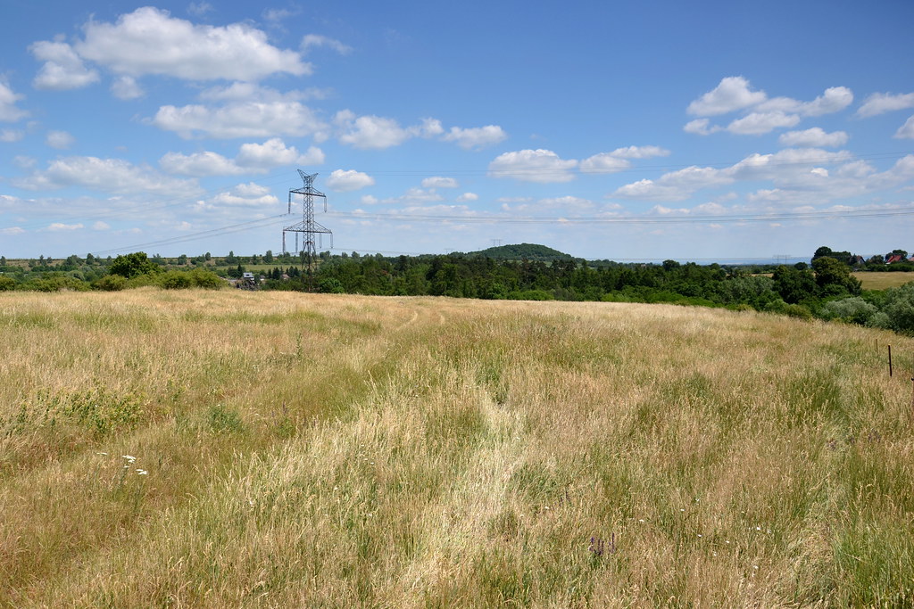
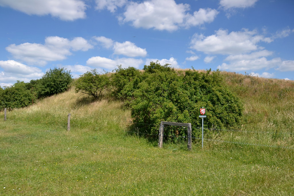
History:Hradec u Kadaně (also Na Pokladě) is a hillfort on a large promontory above the confluence of the Úhošt'anský brook with the Ohří. The site was inhabited already in prehistoric times, when the linear pottery culture, the funnel-shaped cup culture, the Únětice culture, the mound culture, the Knovíz culture and the Shield culture were gradually replaced. In the Late Hallstatt period, a hillfort was established here, which has since disappeared, but according to archaeological findings, the area was also inhabited in the Late Latin and Early Roman periods. In the ninth century, a Slavic settlement existed on the future outpost and the fort itself was rebuilt using the older ramparts at the turn of the ninth and tenth centuries. After the founding of Kadan it probably lost its importance and disappeared in the second half of the twelfth century. The first archaeological survey was carried out here in 1953 by the archaeologist I. Plenerová. It was followed by a survey between 1971 and 1972 by archaeologists D. Koutecky and Z. Smrž and finally in 1986 the last archaeological survey was carried out by archaeologist Eva Cerna. The hillfort was in three parts with a total area of 25 ha. It was protected by a trio of walls partially preserved in the form of ramparts. All three ramparts leave a space on the southern edge for access into the fortress. The outer bailey of 14.3 hectares was fortified by a ditch and a rampart 650 metres long. Its remains are about three metres high and up to fifteen metres wide at the base. The central rampart, which separated the inner bailey (5.8 hectares), was 255 metres long, two metres high and up to ten metres wide. During the second half of the twentieth century it was almost completely ploughed away, but apart from older records its existence is attested by aerial archaeology. The area of the inner castle is 4.9 hectares. The body of the rampart measured 200 metres in length in 1972, reaching a width of up to seventeen metres and a height of up to thirteen metres above the forecourt. The earliest phase from the time of the Shieldmaker culture consisted of an earthen embankment, the crown of which may have supported a palisade. This rampart was covered by the wall of a 300 years younger Hallstatt hillfort, before the construction of which the terrain was leveled with a massive embankment. Two five-metre-high ramparts were built on top of it. They consisted of a timbered structure filled with stones and earth. It is assumed from the layer of burnt clay that it was destroyed during the fire. The youngest Slavic fortification was a frontal stone wall, behind which was a lattice structure filled with earth.
Source:https://cs.wikipedia.org/wiki/Hradec_u_Kadan%C4%9B_(hradi%C5%A1t%C4%9B)
Source:https://www.pamatkovykatalog.cz/hradiste-poloha-na-poklade-ci-stare-hradiste-13421456
Photo source:https://cs.wikipedia.org/wiki/Hradec_u_Kadan%C4%9B_(hradi%C5%A1t%C4%9B)
Impressions:An interesting hillfort, which I unfortunately did not photograph for lack of time, so I borrowed the photos.